


The Central Jordan River Reconnect is a public engagement and planning process to develop a framework plan for a new regional park along the Jordan River between SR201 and 5400S.
The new regional park spans 5 cities—South Salt Lake, Millcreek, Murray, West Valley, and Taylorsville—and includes three tributaries to the Jordan River—Little Cottonwood Creek, Big Cottonwood Creek, and Millcreek.
Take a look at the introductory framework plan and share your feedback!
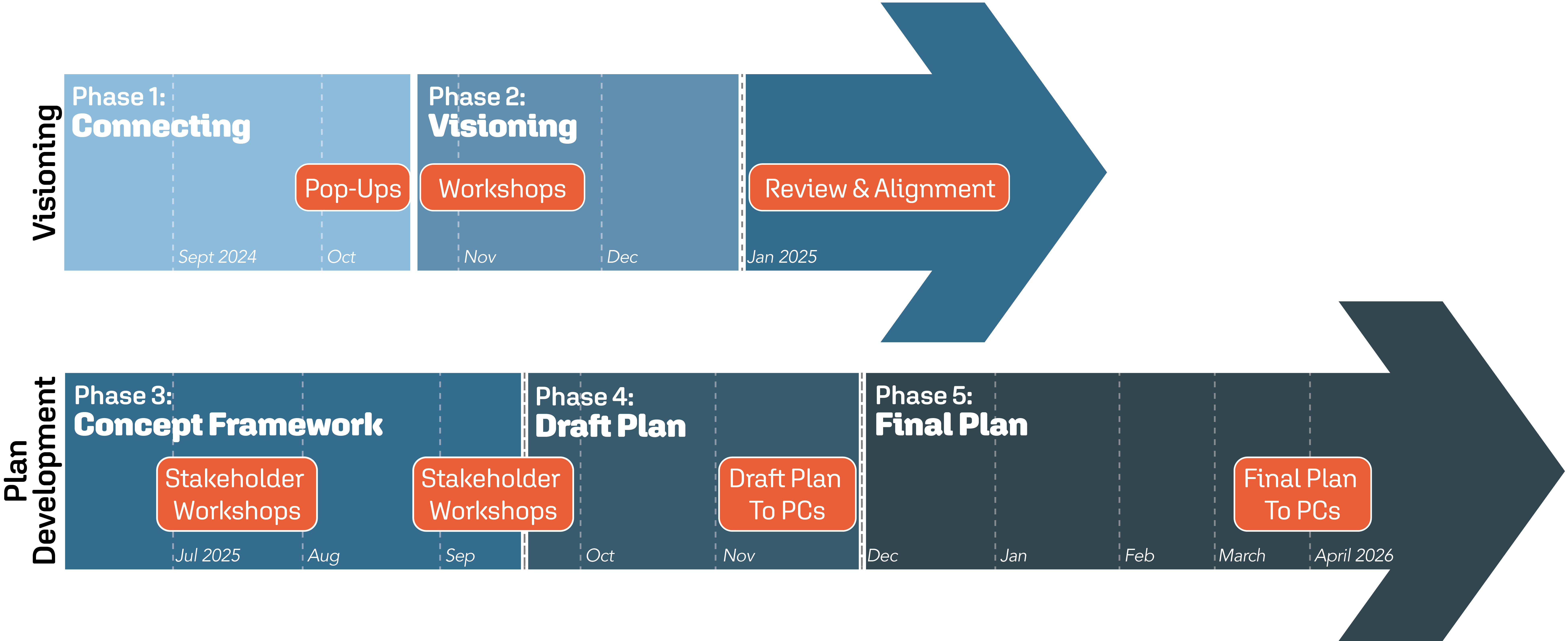
Learn how the Central Jordan River Reconnect Plan brings community voices, partner priorities, and on-the-ground conditions together into a shared vision for the river. The Plan Overview highlights key goals, systemwide strategies, and opportunities that guide improvements across the corridor.
The Plan Overview has been presented to the planning commissions of all five municipalities, as well as the Jordan River Commission Watershed Council. Use the link below to view the approved meeting minutes, or the meeting agendas where minutes have not yet been finalized or made publicly available.


